Welcome to Paul & Christine's Site
Coastal New England Discussion
Melbourne Forecast Discussion
Atlantic Tropical Weather Discussion
Full New England Discussion
Boston.com Weather
Storms
National Hurricane Center
Central Florida Hurricane Center
NOAA Storm Prediction Center
Top Level Marine Forecasts - Graphical - Good Starting place
Offshore Forecast - Mid Atlantic Waters
Sebastian Inlet to Jupiter Inlet Within 20 miles
Sebastian Inlet to Jupiter Inlet 20-60 nm
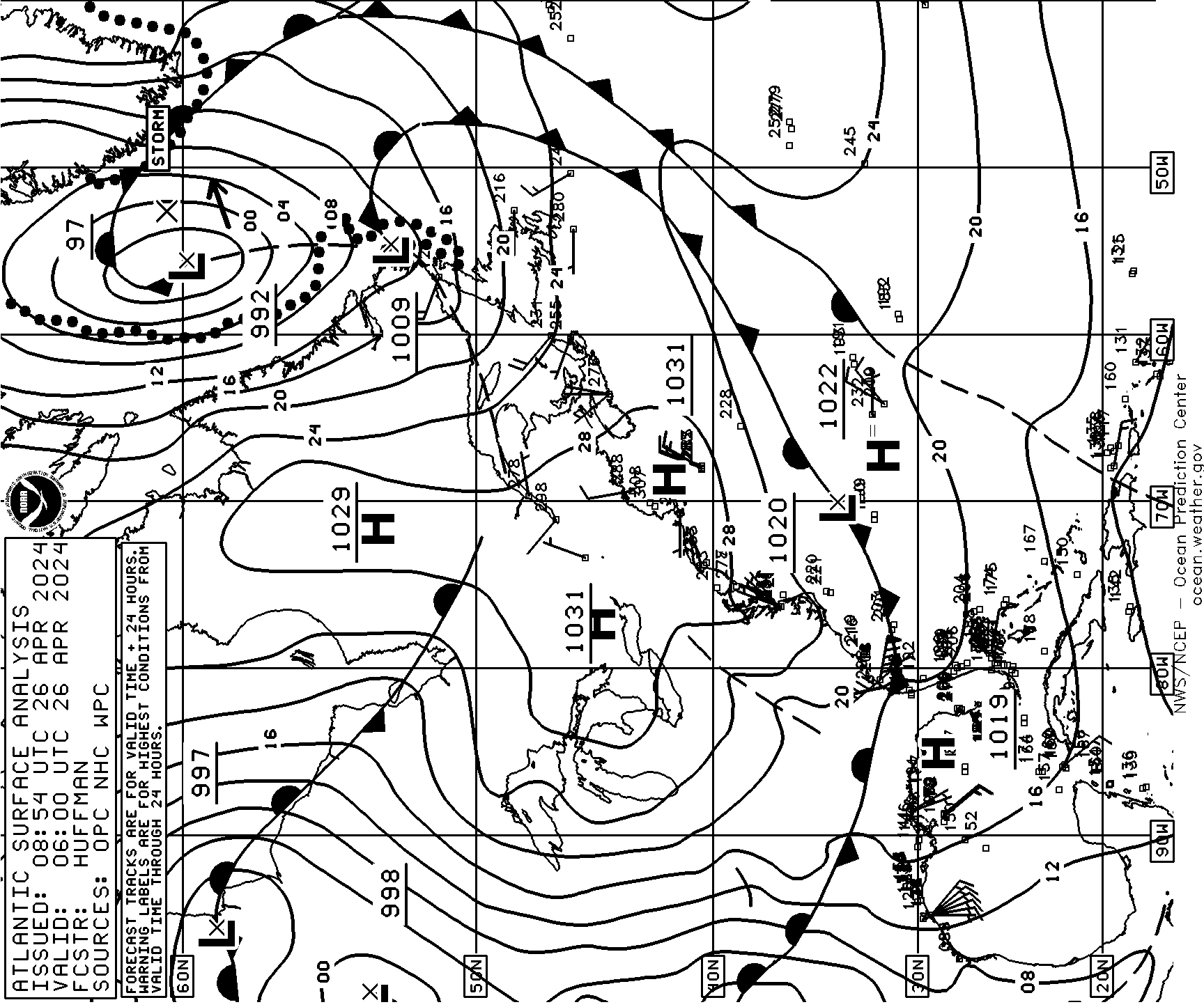
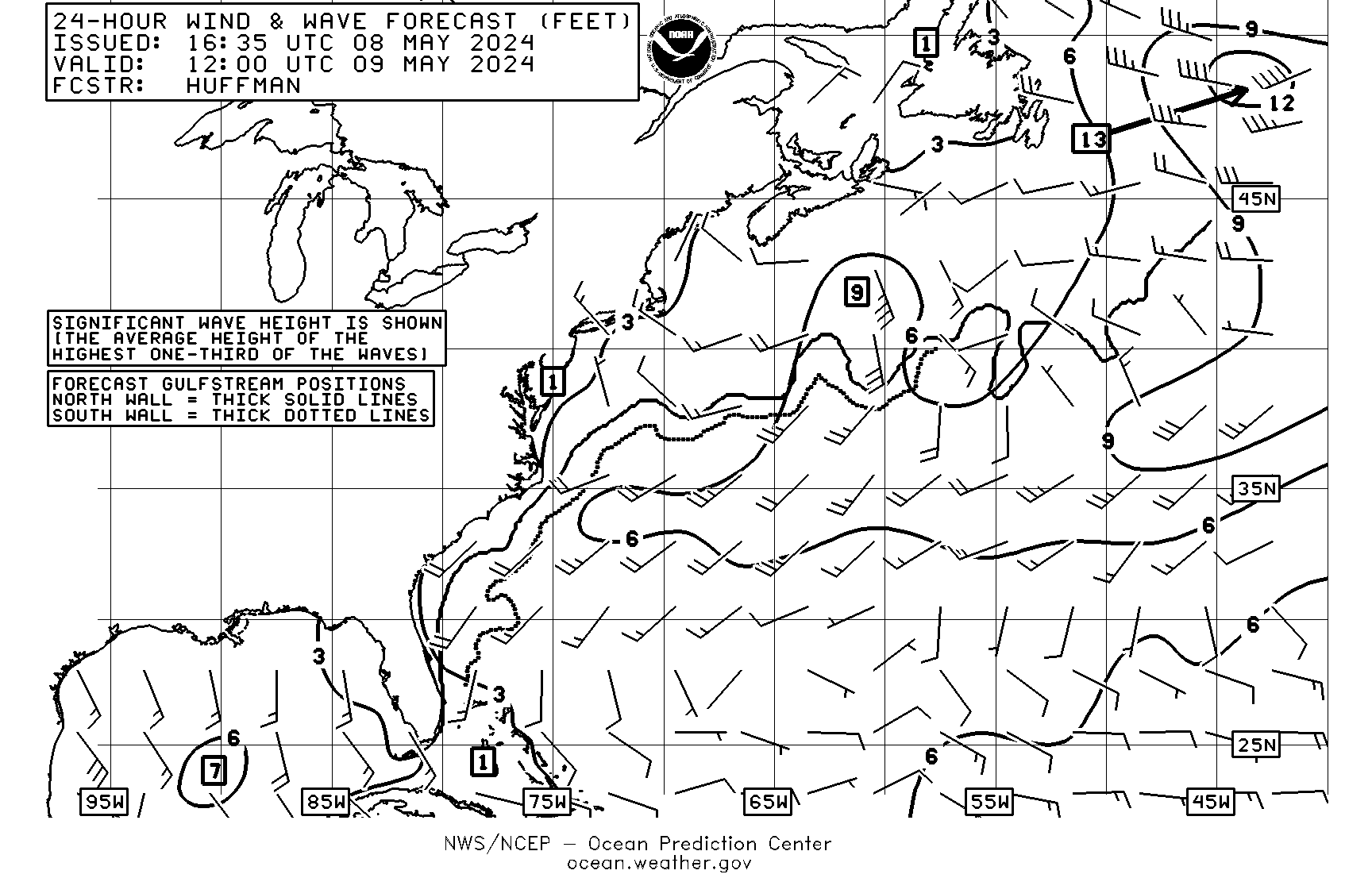
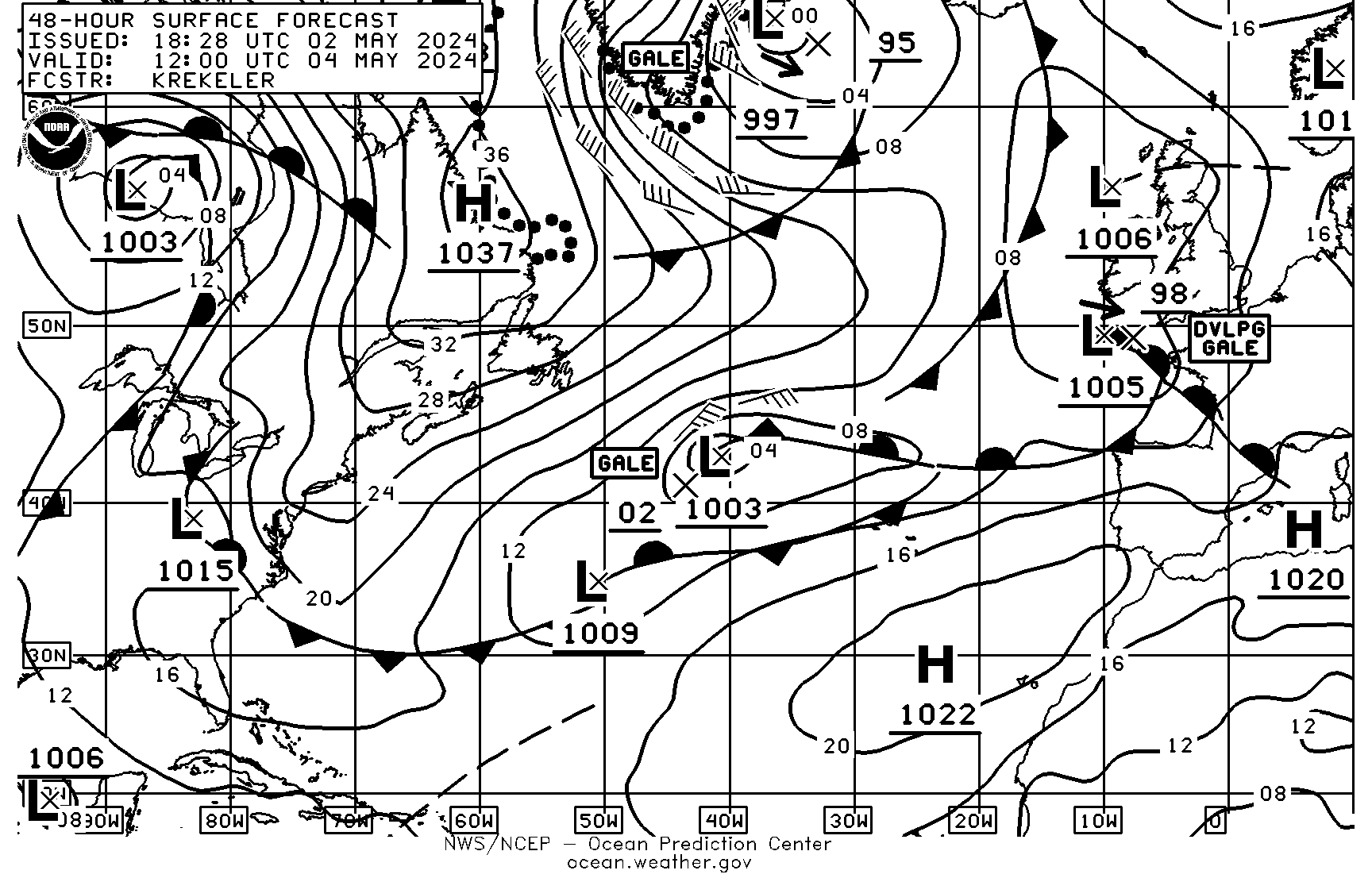
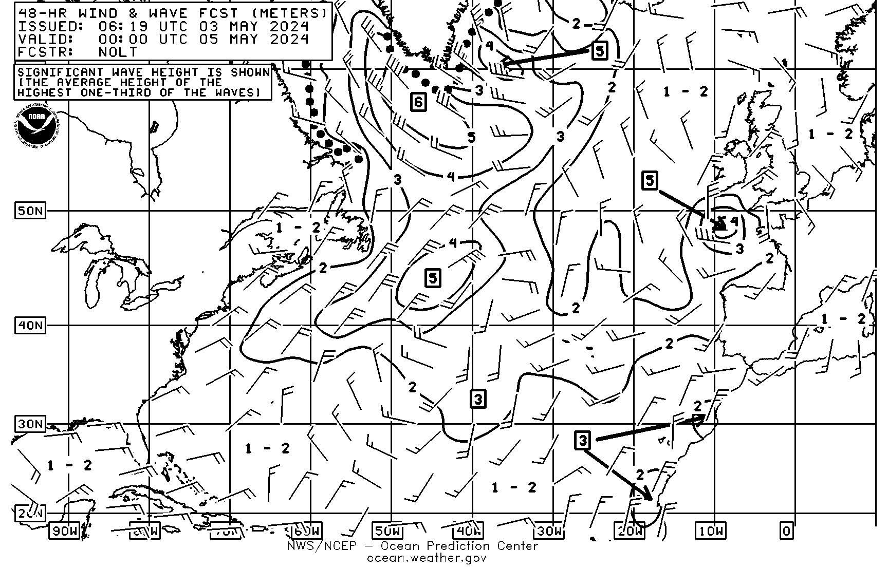
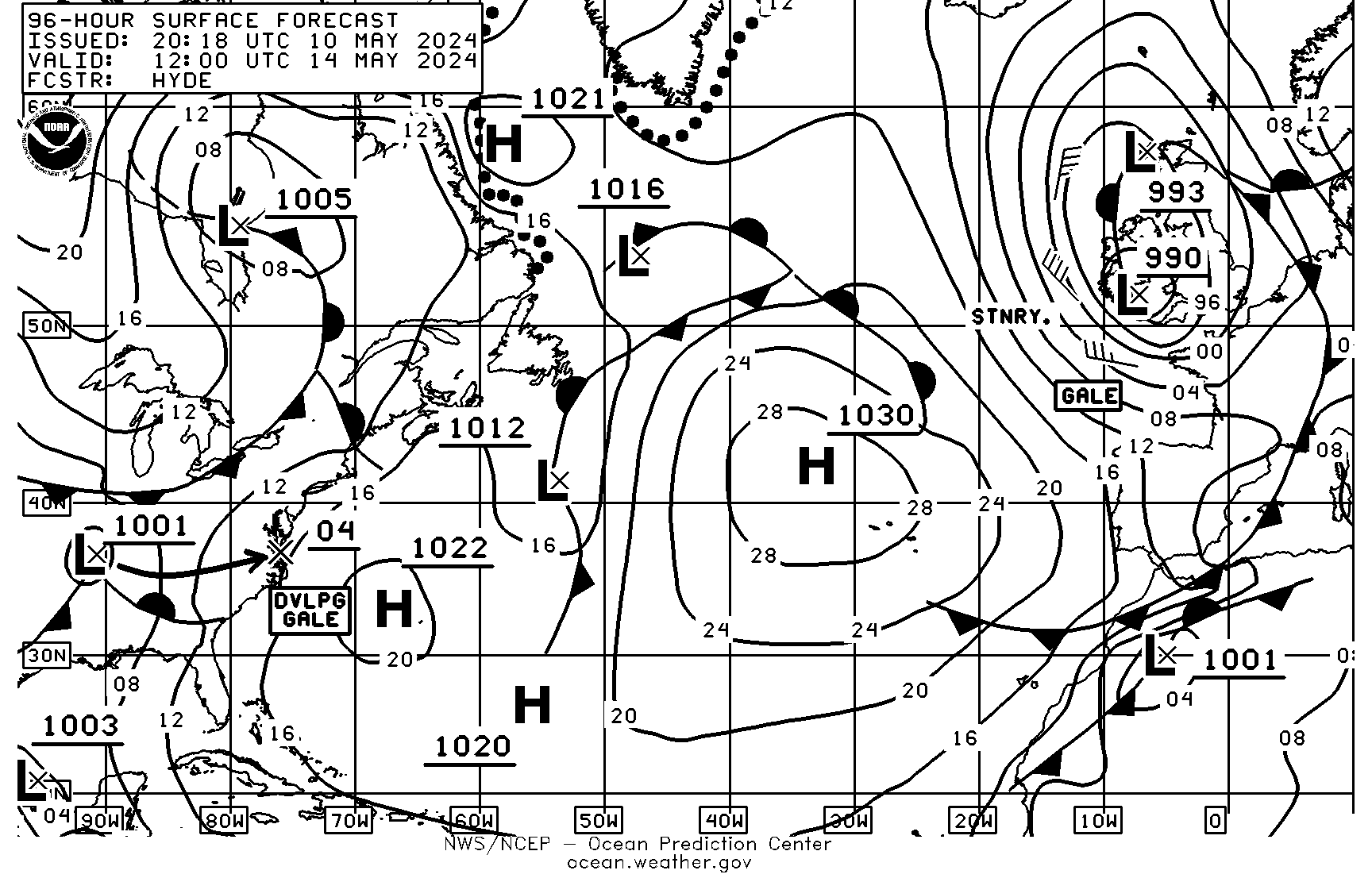
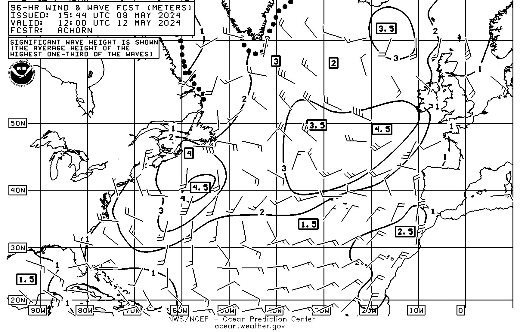
NWS radiofax charts for the NW Atlantic
Current Surface
All weather faxes in printer ready file (large)
BUZm3
44099 DELAWARE BAY 26 NM Southeast of Cape May, NJ
North East Buoy Map
Ft Pierce Bouy
Top Level NDBC Map
SSTs from Rutgers
NOAA North Atlantic SSTs
WBZ-TV Boston
NECN
WPTV - Palm Beach
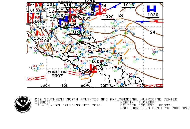
NOAA SW North Atlantic Surface Analysis
For those of you who like to enjoy an adult beverage while taking in a water view, a site has come to our rescue: FindWaterfrontBar.com go take a look at it!
Copyright (c) 2025, Paul N. Sears, All Rights Reserved